About Me

I am a PhD Candidate at the University of Washington, under the mentorship of Dr. Laura Prugh. I use remote sensing, machine learning, and quantitative wildlife models to study how climate change impacts the well-being of wildlife. My work is supported by NASA, the American Scandinavian Foundation, UW's International Boeing Fellowship program, and Microsoft's AI for Earth Program.

I am honored to have conducted research in both Washington state and Norway. In the U.S., I work with members of the Hydrological Sciences Lab at NASA Goddard Space Flight Center, with Dr. Carrie Vuyovich as my technical adviser. In Norway, I am honored to be affiliated with the Norsk Institutt for Naturforskning, Norway's leading institution for ecological research, where I am hosted by Dr. John Odden. In Fall 2023, I also participated in an internship at Meta (formerly Facebook) on their Physical Modeling team. I had a tremendous experience conducting research to support Meta's sustainability goals.

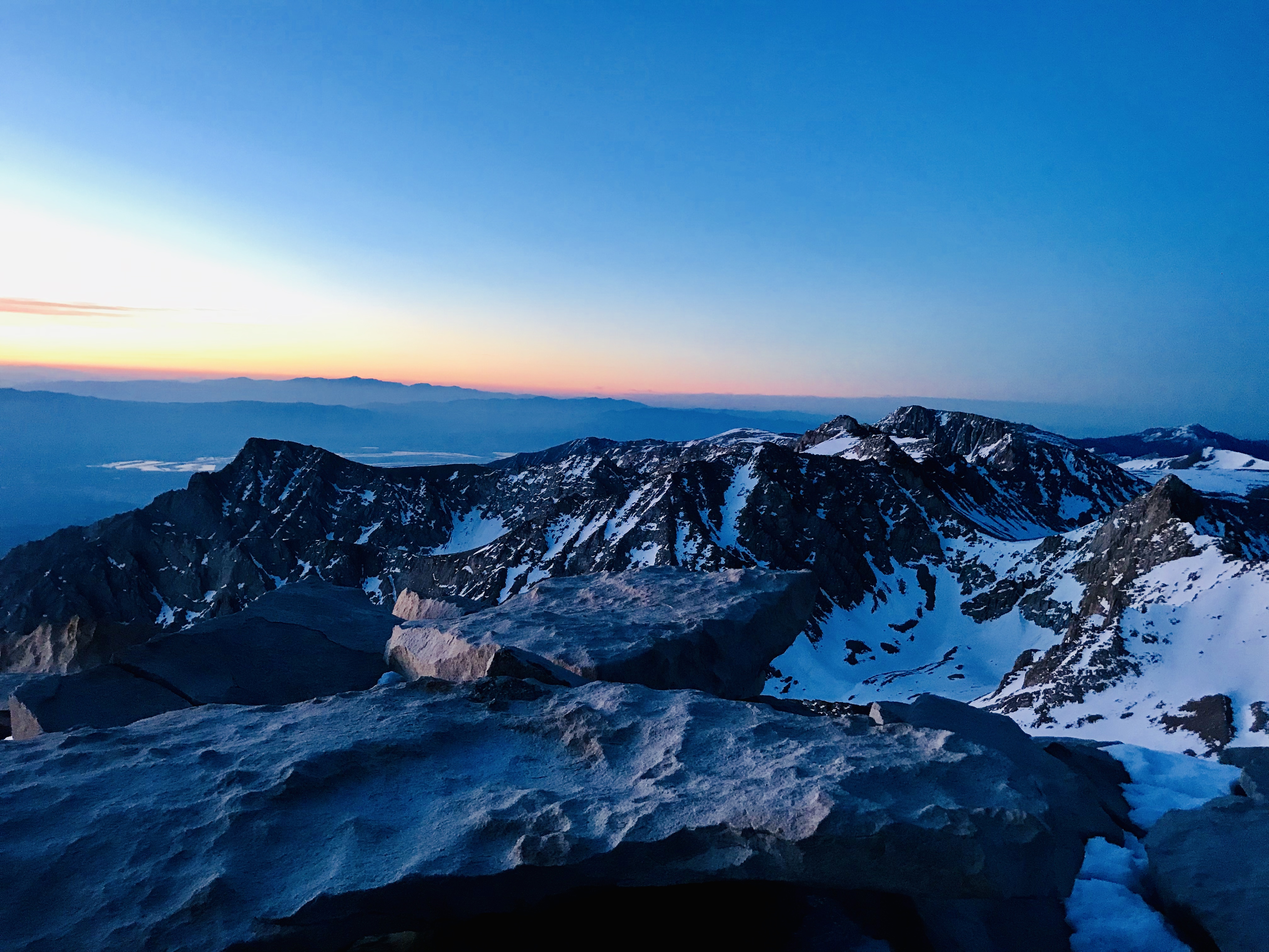
Nature has always been a source of inspiration to me, and it is where I continue to go to find inspiration. In 2019, I took 6-months to thru-hike the 2,650-mile Pacific Crest Trail. I was able to see more of the West Coast, U.S. than I ever thought imaginable. The experience still influences the questions I ask in my research today.

Research Interests

  • remote sensing
  • machine learning
  • wildlife science
  • climate change

Research Projects

Evaluating camera traps as ground-based remote sensing networks linking snow and wildlife

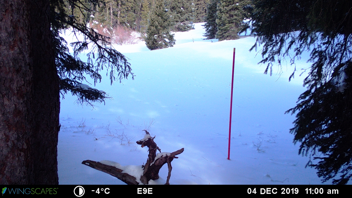
Optical satellite instruments provide large-scale observations of snow cover, but cloud cover and dense forest canopy can reduce accuracy in mapping snow cover. Remote camera networks deployed for wildlife monitoring operate below cloud cover and in forests, representing a virtually untapped source of snow cover observations to supplement satellite observations. Using images from 1181 wildlife cameras deployed by the Norwegian Institute for Nature Research (NINA), we compared snow cover extracted from camera images to Moderate Resolution Imaging Spectroradiometer (MODIS) snow cover products during winter months of 2018–2020.

Paper in Remote Sensing of Environment
Press release for paper
Analysis tutorial
Norway's public news station (NRK) feature
Snow depth from snow poles

Snow pole time-lapse photography, in which a snow pole of a known height is installed in front of a camera and photographed repeatedly over the course of a snow season, allows a large network of sites to be established relatively quickly and affordably. However, current approaches for extracting snow depth information from these snow poles typically relies on time intensive manual photo processing. My work focuses on automating the process to faciliate expansion of timelapse photography for snow depth analysis.

Dataset
Code
Paper in Water Resources Research

Weather from camera trap imagery

Differentiating between winter rain and snow is essential for accurate snow modeling and predicting ecological impacts on animal movement, foraging, survival. Weather stations are the primary mode for winter weather monitoring, but station locations are not always optimized for regional studies or in rugged terrain. We present a new method to use camera traps to detect weather.

Paper from the Conference on Computer Vision and Pattern Recognition's 11th Fine Grained Categorical Vision Workshop Workshop page
Paper Link

Hourly changes in snow and wildlife behavior

I am interested in how animals respond to changes in the conditions of the snow surface. The snow surface, especially in the spring time, hardens and softens over the course of a 24-hr period, I currently explore whether animals adapt their diurnal cycle in response to these changes, and how that might give us inference to how animals will respond in response to increasing rain on snow events.

Forest biomass from tree height satellite and aerial imagery

Forest biomass is an important component of estimating earth's global carbon budget. Field estimates are the most accurate, but they can be costly and difficult to scale up to the size of regional and country-level forests. In Fall 2023, I had the chance to work on the Physical Modeling team to help derive and identify associated error with current and new tools for estimating forest biomass from Meta'a Tree Canopy Height Map. They recently released the map and data!

Publications

Please reach out to me at cbreen [at] uw [dot] edu if you need any help accessing papers.

  • Breen, C., W.R. Currier, C. Vuyovich, Z. Miao, and L. Prugh. 2024. Snow depth extraction from time-lapse imagery using a keypoint deep learning model. Water Resources Research. https://doi.org/10.1029/2023WR036682
  • Breen, C., C. Vuyovich, J. Odden, D. Hall, and L. Prugh. 2023. Evaluating MODIS snow products using an extensive wildlife camera network. Remote Sensing of Environment 295:113648.
  • Cunningham, C.X., Nuñez, T.A., Hentati, Y., Sullender, B., Breen, CM., Ganz, T.R., Kreling, S.E.S., Shively, K.A., Reese, E., Miles, J., Prugh, L.R., (2022). Permanent daylight saving time would reduce deer-vehicle collisions. Current Biology 32, 4982-4988.e4. https://doi.org/10.1016/j.cub.2022.10.007
  • Chalfoun J, Majurski M, Peskin A, Breen CM, Bajcsy P, Brady M. “Empirical gradient threshold technique for automated segmentation across image modalities and cell lines,” J. Microsc. 2015 Oct; 260(1):86-99. doi:10.1111/jmi. 12269. LINK
  • Booth L, Breen CM, Gullickson C, “Variations in Elephant (Loxodanta africana) Diet Along a Rainfall Gradient: The Effect of Latitude, Grass Reserves, and Proximity to Water.” Consilience: The Journal of Sustainable Development. Vol. 13, Iss. 1 (2014), Pp. 327-335.

Datasets

  • Breen CM, Lumbrazo C., Vuyovich C., Raleigh MS, Marshall HP (2022). SnowEx 2020 Time-lapse Images, Version 1. Boulder, CO USA. NASA National Snow and Ice Data Center. https://doi.org/10.5067/14EU7OLF051V.
  • Breen CM, Lumbrazo C., Vuyovich C., Raleigh MS, Marshall HP (2022). SnowEx 2020 Snow Depth from Snow Poles in Time-lapse Images, Version 1. Boulder, CO USA. NASA National Snow and Ice Data Center. https://doi.org/10.5067/14EU7OLF051V.

Selected Conference Presentations

  • C.M. Breen, J Odden, C.M. Vuyovich, L. Prugh. Evaluating Camera Traps as Ground Based Remote Sensing Networks. 2021 School of Environmental and Forest Sciences Graduate Student Seminar. March 2021. Awarded Best PhD Student Presentation.
  • “Building a Bilingual Google Earth Engine Dashboard to Increase Accessibility to Long-term Time Series Remote Sensing Data for Monitoring Saline System Changes in Chile's Atacama Desert” eLightning presentation at American Geophysical Conference (December 2020), Speaker.
  • “SnowEx Snow Depth Automation from Timelapse Cameras” (September 2020), Poster Presenter at 2020 SnowEx Conference.
  • “Utilizing NASA Earth Observations and Community Science to Detect and Map the Displacement of Cladophora along the Milwaukee County Shoreline” presentation at American Geophysical Conference (December 2018), Speaker.
  • 2019 Winter Climate on Tap event sponsored by Program on Climate Change, Speaker.

Education

  • B.A. in Ecology and Evolutionary Biology. Princeton University (2015)
  • PhD in Environmental and Forest Sciences. University of Washington (Nov. 2024)

Research Awards:

  • NASA Graduate Research Fellowship
  • American Scandinavia Longboat Fellow
  • Erasmus+ Mobility Grantee
  • UW SEFS Completion Fellow
  • UW International Boeing Fellow
  • Microsoft AI for Earth Grantee
  • UW GPSS Travel Award
  • Best student presentation (UW, 2020)
  • Teaching and Outreach

    • ESRM 150: Wildlife in the Modern World (Fall 2019).
    • NASA SnowEx Hackweek Instructor and Tutorial Lead (2021 and 2022). Hackweek site
    • Instructor for Beginner's Python Course, UW eScience Institute (summer 2021)
    • Guest lecturer, CSE 599 Computing for Conservation (Nov 2022)
    • UW Sea Kayaking Instructor and Guide (2022-23)
    • UW School of Environmental and Forest Sciences mentor (2020-2021)
    • Graduate Society of Women Engineers mentor (present)
    • How to Find and Apply for Graduate Funding panelist (October 2024)

    Coding Tutorials and Blogs

    • C.M. Breen, C.A. Lumbrazzo. "Time-lapse Cameras and Snow Applications.” NASA’s SnowEx Hackweek. Tutorial. (July 2021). Tutorial link
    • C.M. Breen. "Custom binary snow maps with camera traps." eScience Institute GeoHackweek (Fall 2023). Tutorial link
    • Proficient in R, ArcGIS, and Norwegian: How learning a language prepared me for scientific and personal research (May 2023). Blog link

    Contact Me

    Please get in touch!

    EMAIL: cbreen [at] uw [dot] edu